
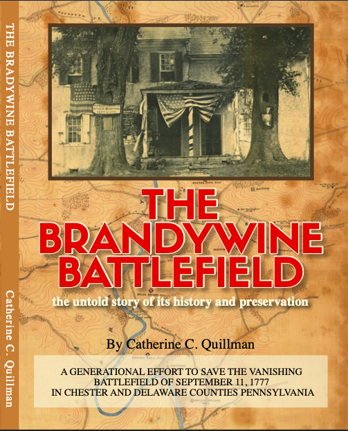
Available now: The Brandywine Battlefield: the Untold Story of Its History & Preservation. (Read on and order here)
The 216-page softback book highlights the generational effort to save the vanishing battlefield of September 11th, 1777, now spanning Chester and Delaware Counties, Pennsylvania. Each generation included a range of people from early 20th century authors and schoolteachers to state senators and war veterans, all of whom promoted the preservation of this “sacred” terrain with the belief, still relevant today, that the character of the land is inextricably tied to its history.
For a limited time, free shipping on each $28 book is available through the following secure site. (Sorry Pay Pal is not an online option at this time, but you can email me and I can you send you my Pay Pal information.). Also please include your address in the “Notes” section when you click the button below.
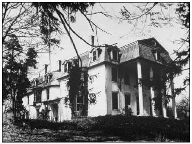
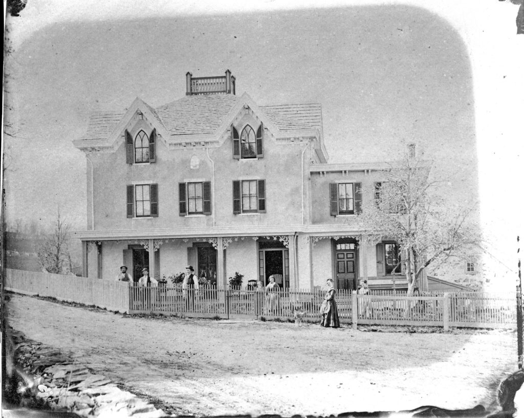
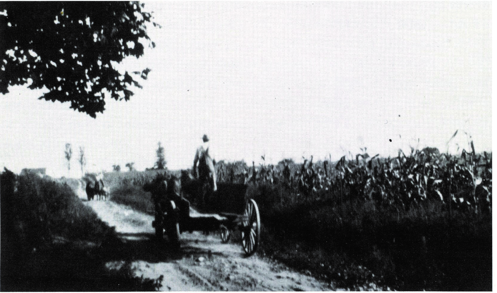
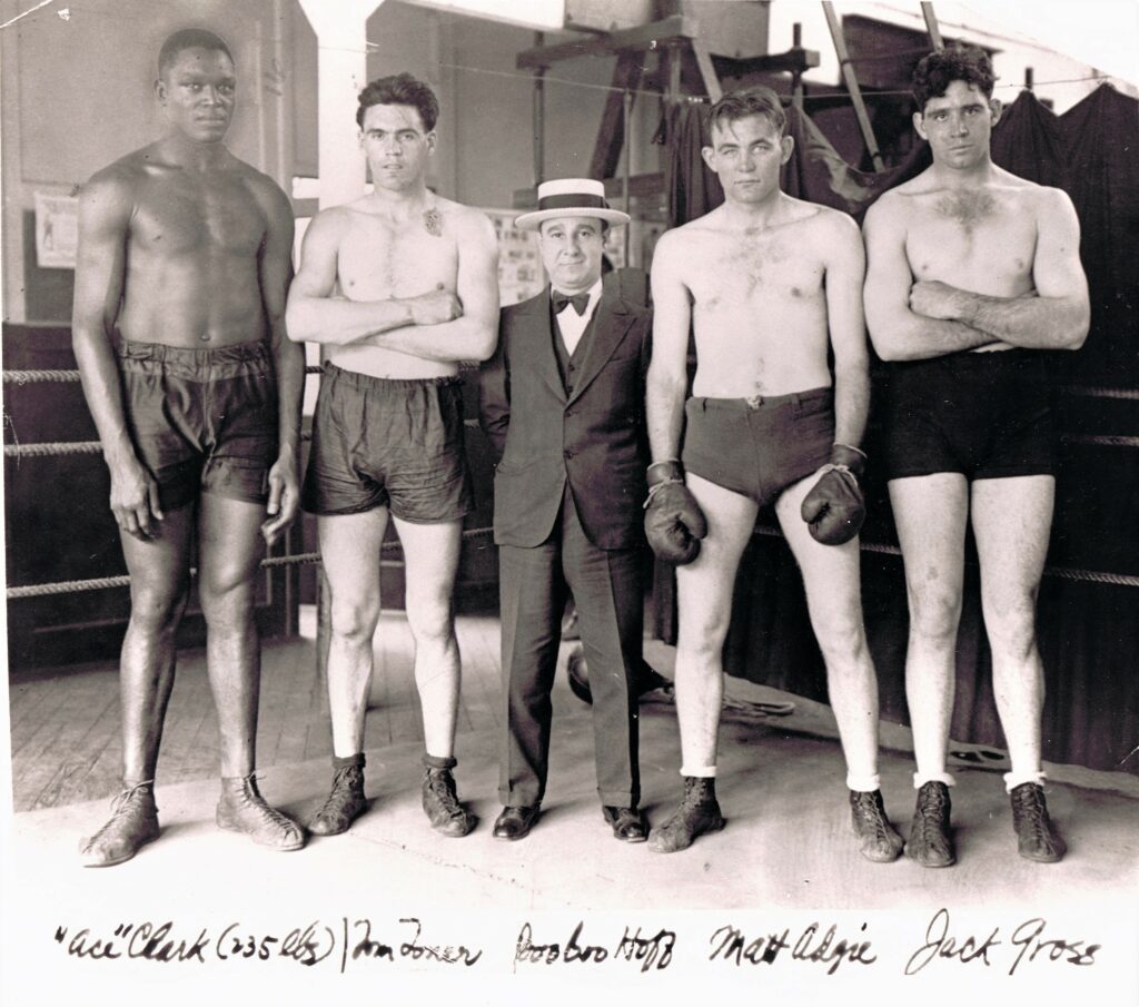
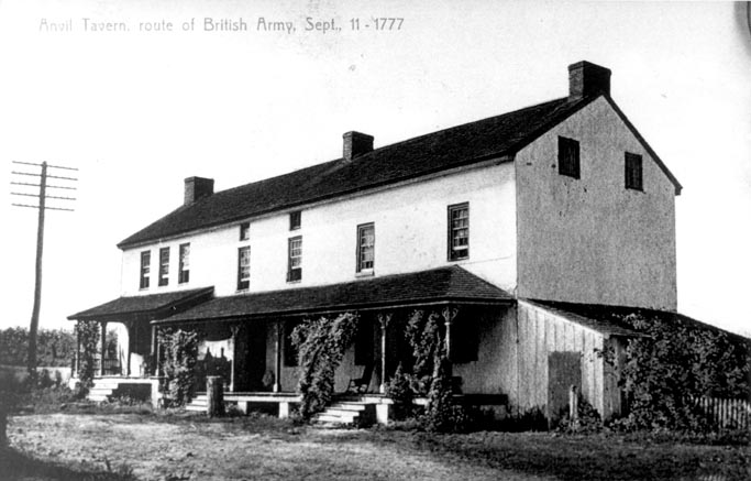
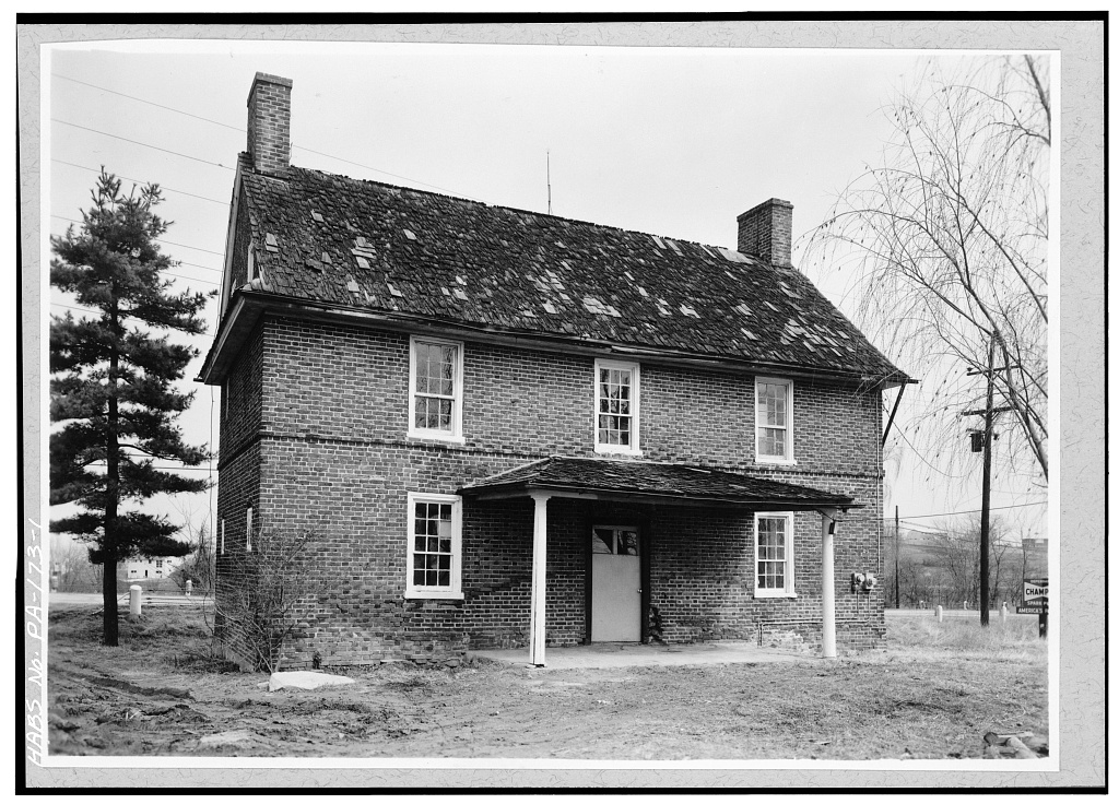
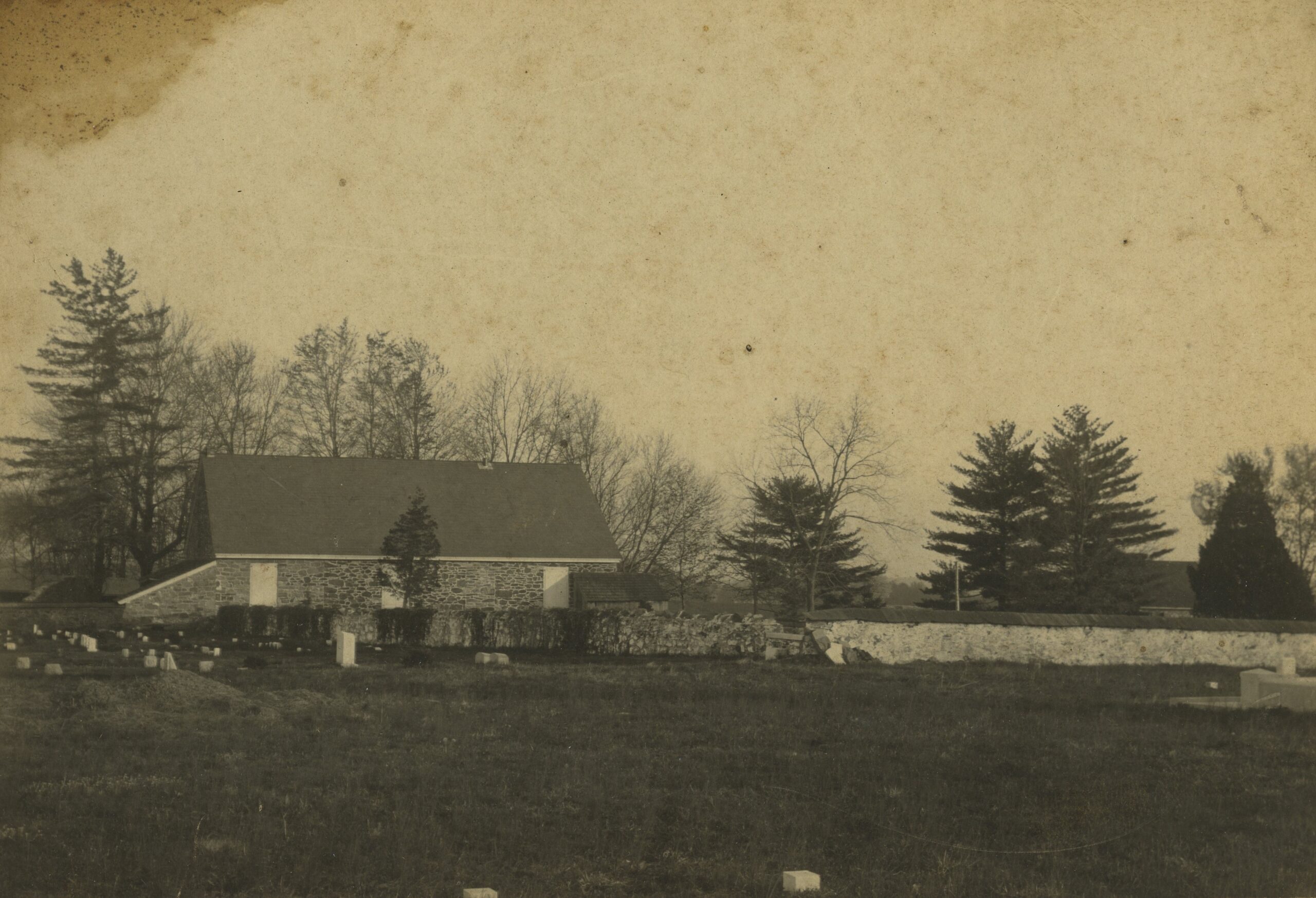
Here are some photos from the book:
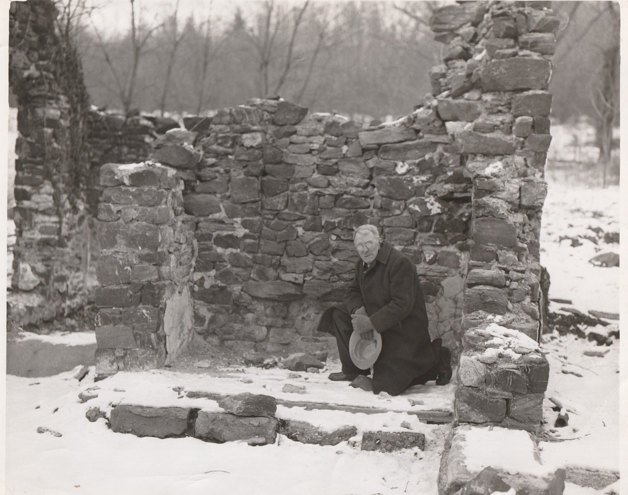
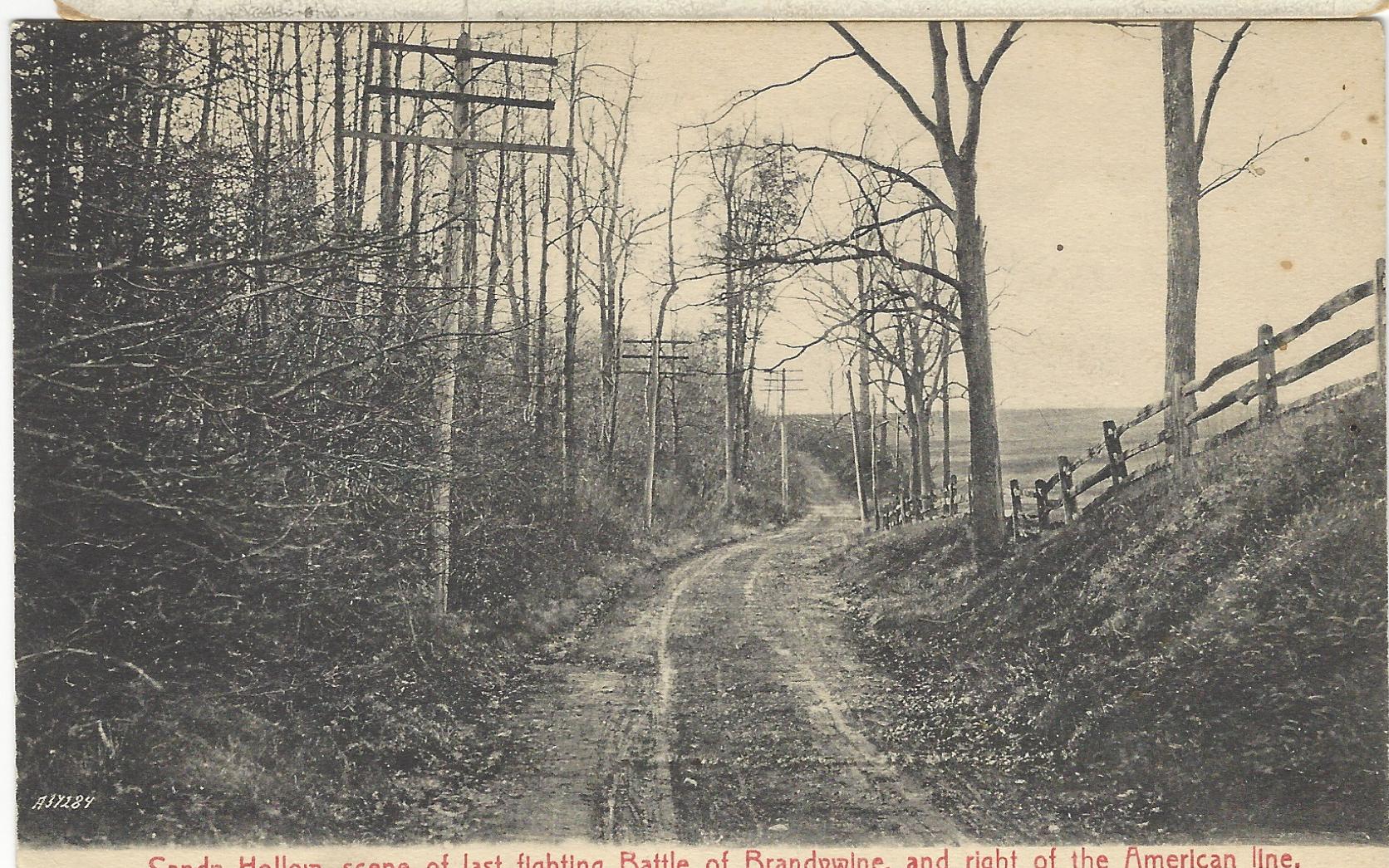
Sandy Hollow c. 1910
Upcoming Publications
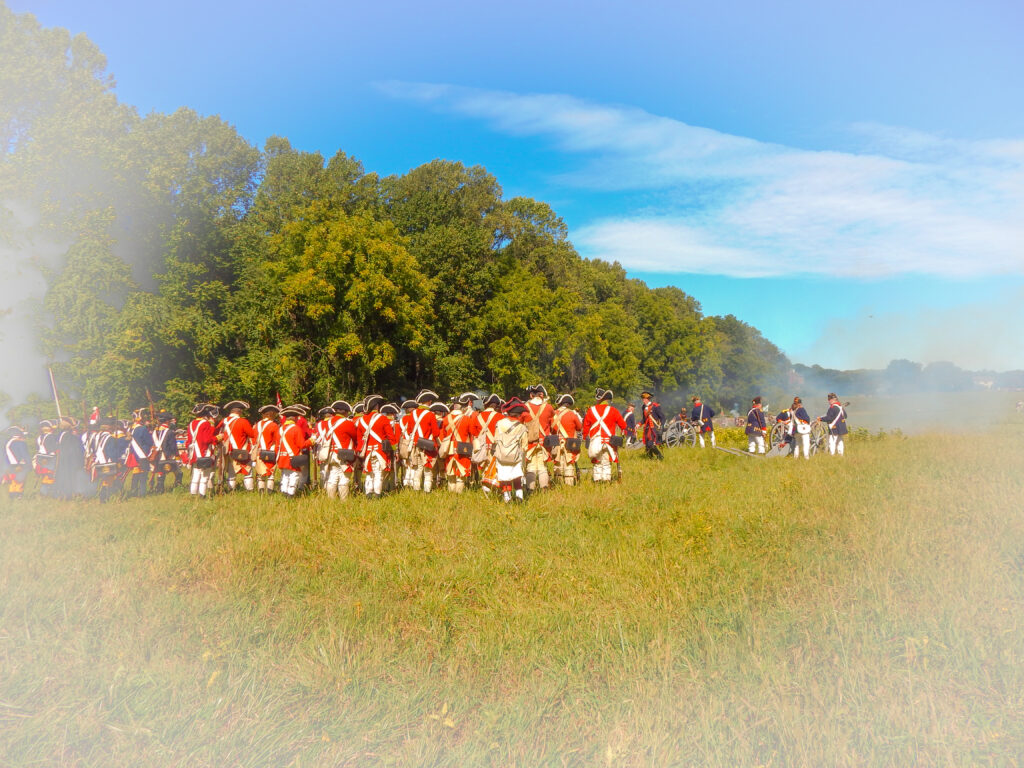
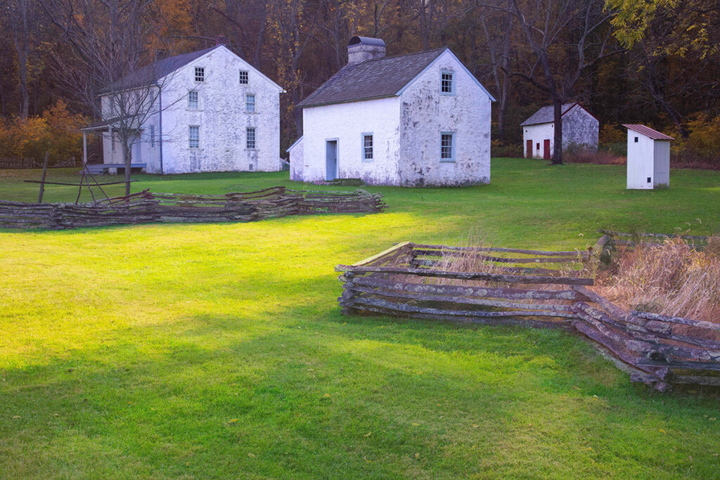
The American Revolution in the Brandywine Valley: A Visual History
The book is slated for publication in time for the 250th Anniversary of the nation’s founding. Information about the national celebration is found here: https://america250.org
This illustrated history will be the first contemporary photography book that will serve as a part driving tour/ part visual history of regional troop movements during the Philadelphia Campaign of 1777. The text, by Catherine C. Quillman, will be illustrated by photographer Steven Ladner. (See the photo below as a typical example of his vibrant work). Please contact us for upcoming information!
Much like the Brandywine Battlefield book the latest research of the Brandywine Battlefield Task Force (now part of the Chester County Planning Commission). The group’s efforts to preserve the battlefield landscape can be seen here: Historic Resources
From the book’s preface :
Fighting until the last light of dusk on a scorching hot day, the armies on both sides covered a large swath of ground in several townships until they reached the final engagement at “Sandy Hollow,” where many of the troops, even generals, pushed forward with bayonets in hand-to-hand combat.
The Battle of the Brandywine took place on one day – September 11, 1777 – bringing together an estimated 30,000 American and British soldiers to a region surrounding Chadds Ford, Pennsylvania. outside of Philadelphia known as the Brandywine Valley.
Today there is still a need to defend the land, but the fight isn’t one of blood and steel, as in 1777. The enemy is development. A preservation group called the Brandywine Taskforce has spent decades protecting key battle sites in a 10-square-mile area that officially became the Brandywine Battlefield National Historic Landmark in 1961.
Slated for Spring 2026
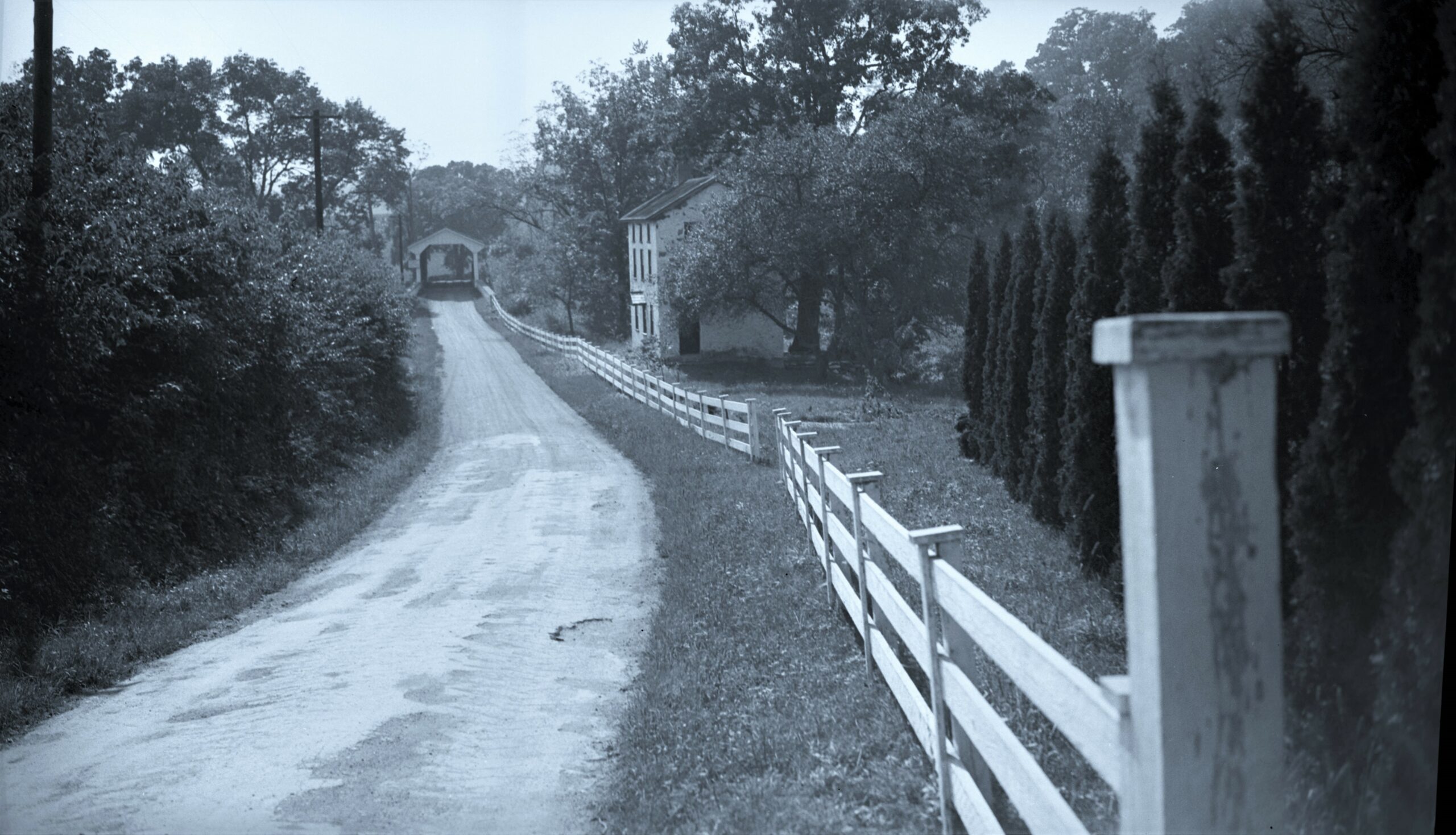
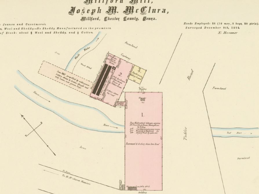
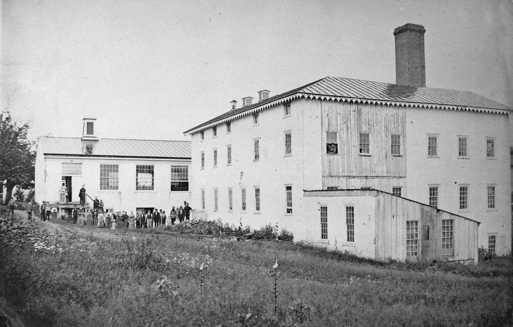
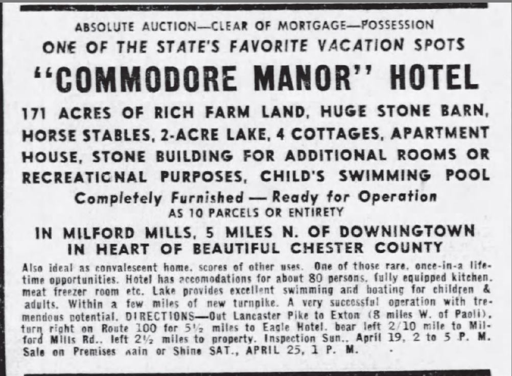
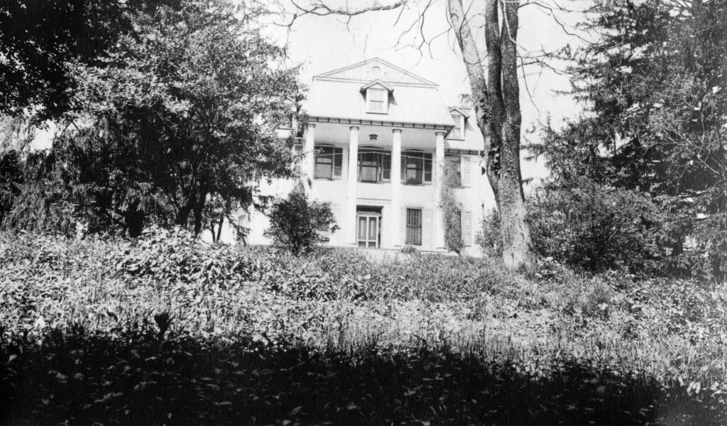
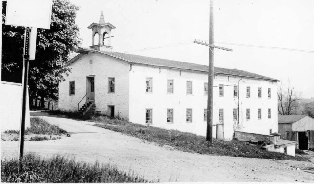
Photos from the upcoming Milford Mills book