
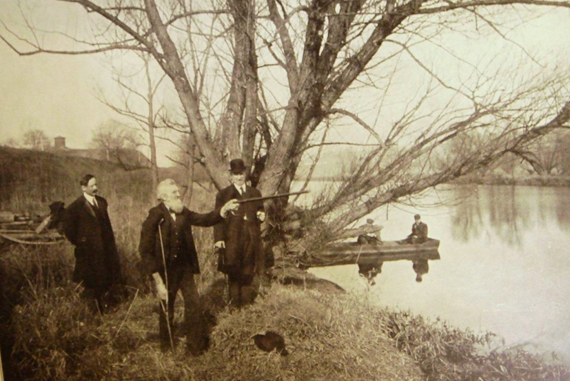
Discovering the landscape of what has been called the military nadir of the American Revolution has been a pursuit since the early days of battlefield tourism. In the 1930s and 40s, for instance, the celebrated Chadds Ford historian Chris Sanderson presented what he called his “bed sheet” lectures, using a white sheet marked with a black pen to illustrate the locations of not only the fords of 1777 but the now vanished hamlets such as Sconnelltown and Strode’s Mill.
Today, Sanderson’s idiosyncratic collection housed in the Chris Sanderson Museum in Chadds Ford sheds light on the Battle of Brandywine in interesting ways. One treasure on display is a 1787 edition of Encyclopedia Britannica, which was the first to include an entry about the Battle of Brandywine. Sanderson also favored objects that reflected the community knowledge of the battle, such as at the amusing sign (painted by the illustrator N.C. Wyeth) that once hung above the door of a local barbershop. The sign read, “This Is the Place Where Washington and Lafayette Had a Very Close Shave.”
Audiences in the 19th century enjoyed slightly more academic “caulk- board” lectures given by Wilmer MacElree, a West Chester author and trial lawyer. In 1912, he traveled to Chadds Ford with a group of fellow historians and looked for significant spots worthy of a historic marker. The group examined the same hilltop behind the John Chads’ House where Washington reportedly stood until cannon balls “began to fall,” before retreating with his officers. Overlooking the village of Chadds Ford, the hilltop offered a view of the surrounding area, MacElree noted, and showed a “variegated landscape [that] extends as far as the eye can reach in all directions.”
Much like Sanderson, MacElree believed the battlefield was best explored on foot, especially along the Brandywine and around Chadds Ford, which had been radically altered by “dam, bridge, and railroad embankments.” It addition, all nine of the so-called Lower Fords of the Brandywine had different names than those in 1777. Even in MacElree’s day, many of the crossing were no longer used – Corner Ford and Richling‘s Ford below Chadds Ford, among them – but he anticipated the public’s reaction to those confusing fords by encouraging his readers to trace the old colonial roads.
In 1777, Gen. Washington placed patrols along the fords where he anticipated a British attack moving from west to east across Brandywine with the main area of defense focused on the Nottingham Road. In reality, there were side paths that split off from the road so that travelers could chose to cross either Chads’ Ford or Chads’ Ferry. MacElree envisioned the paths as established through fares known as Upper Ford Road and Lower Ford Road. The latter road led to Chadds Ferry
MacElree wrote that one could imagine the location of Chads’ Ford since it lay just above a bridge during his lifetime on the Old Nottingham Road (Rt. 1). He described Chadds Ferry as being within six hundred feet of the bridge, but difficult to find since the area had been obliterated by the construction of the Philadelphia & Baltimore Central Railroad in 1854.
Historians now believe that the Lower Ford Road was once part of the colonial-era Starve Gut Road, so named because there were no taverns along it. The road may have roughly followed the current Fairville and Hillendale Roads, west of the village center of Chadds Ford.
In his 1912 book Along the Western Brandywine, MacElree includes an entire chapter on Chads’ Ferry, but unfortunately, he does not explain why such a small settlement came to have both a ford and a ferry. MacElree does describe the Ford in some detail, explaining that “its width is a little less than one hundred and fifty feet” and that in his day, it was difficult to see the crossing due to flooding. In his words, there were “times of freshets” when the “tussocky meadow of a thousand feet” was flooded and the area between the dam and John Chads’ house “is frequently covered with water.”
In colonial times, a bridge-building jury comprised of local residents did not even recommend the ford crossing, on the ferry’s, a “place most convenient and least expensive was about 13 perches below the said ford.” Evidently, John Chads didn’t consider the ford crossing either, even though it was near his first home and a tavern (later known as the Three Compasses) he established in 1736.
When Chads borrowed money from the Provincial Court to build a ferry crossing in 1737, he didn’t even mention the higher crossing but instead specified that the ferry be placed several perches south of “Great Road leading from Chester to Nottingham, on ye land of John Chads.”
Chads Ferry was soon forgotten in the years after Chadds Ford earned a stop on the railroad. Around the same time, MacElree’s book helped to spur local tourism to see the fords, especially the “redoubt [that] directly faced and commanded the passage of Chads’s Ford” as MacElree wrote of Washington’s main position.
Still, the real surge in tourism did not occur until after the construction of a concrete highway (now U.S.1), when nine thousand people visited Washington’s Headquarters alone in 1921. The exact count was thanks to Sanderson, then a local schoolteacher and antiquarian who kept a record of his visitors. A lifelong bachelor, Sanderson lived with his mother in Washington’s former headquarters from 1906 to 1922.
Postcards from this period suggest that visitors were drawn to the house by a simple hand-painted wooden sign nailed to a tree in the front yard. No doubt Sanderson put up the sign: he not only gave free personal tours of the house to anyone who requested one, he developed driving tours of the battlefield. He is believed to have assisted the writer of a 1922 Keystone Motorist article, who swept through the area and wrote of the historical markers recently placed in the area by the Brandywine Valley Farmers’ Club. There were not as many signs as those in Valley Forge or Gettysburg, the writer observed, but a visitor “is able to identify principle points of interests,” a vast improvement from “10 or more years ago.”
Ten years later, another writer for the same magazine, a former clergyman named John T. Faris, became a popular writer of local histories based on his excursions. In one story, he echoed many writers before him when he compared the present to that “autumn day so long ago” and noted that “the [Brandywine] creek, the meadows, the woods, the fields, some of the houses – yes, even the roads, in places – are not so much changed.”
Sanderson’s own efforts to commemorate the Battle of Brandywine were said to have begun in 1910 when he raised funds to place a small bronze marker at the headquarters. Sadly, when Sanderson’s rental agreement came to the end, the house was converted into a tea room – a progression that led to disaster.
As historian W. Barksdale Maynard writes, Sanderson “had reluctantly moved away when, in 1931, news came that the venerable house had burned. What stands today is a reconstruction.” The headquarters reconstruction did not occur until a few years after the Brandywine Battlefield Park was established as a state park in 1949.
Sanderson did not attend the grand opening, and indeed, some of his supporters pointed out that he was never invited nor given credit for initiating the state historic marker program. Despite this discouraging period, the unassuming house has always been a perennial favorite for tourists, as Maynard sums up Washington’s Headquarters. Maynard traces the history of tourism and jokingly suggests that Lafayette was the first tourist “even before the war was over.”
In December of 1780, Lafayette and a group of French friends that included a fellow officer named Marquis de Chastellux rode down from Philadelphia and visited the battlefields at Chadds Ford and Birmingham. In Chastellux’s now classic memoir, Travels in North America, In The Years 1780-1782, he describes Lafayette’s search for the place where he had been wounded, somewhere south of Birmingham Hills.
It was a place where Chastellux observed that day “most of the trees [still] bear the marks of bullets or cannon shots.” The group brought along a 1778 map published in London with the title, Battle of Brandywine in which the Rebels Were Defeated. Described as Drawn on the Spot by a Hessian lieutenant, the map was hand-colored to illustrate the headquarters, deployment, and movements of all three forces: British (red), Hessian (blue) and the Continentals (yellow).
Determined to find the place where Lafayette had been wounded, the group sought out the guidance of a former American officer who was living in a house overlooking Sandy Hollow. Yet “already just three years after the battle,” Maynard writes, “they expressed perplexity and disagreement about what had happened where.”
As for the 1778 map, it may have illustrated with landmarks, but parts of it were so inaccurate, Maynard writes, it “ultimately sowed much confusion about the events of the battle, which historians are still trying to disentangle.”